

Bau Bang Commune in Ho Chi Minh City has launched a pilot programme using unmanned aerial vehicles (UAVs) to develop three-dimensional spatial maps, establishing a digital data foundation for planning, land administration and the digital transformation of local governance.
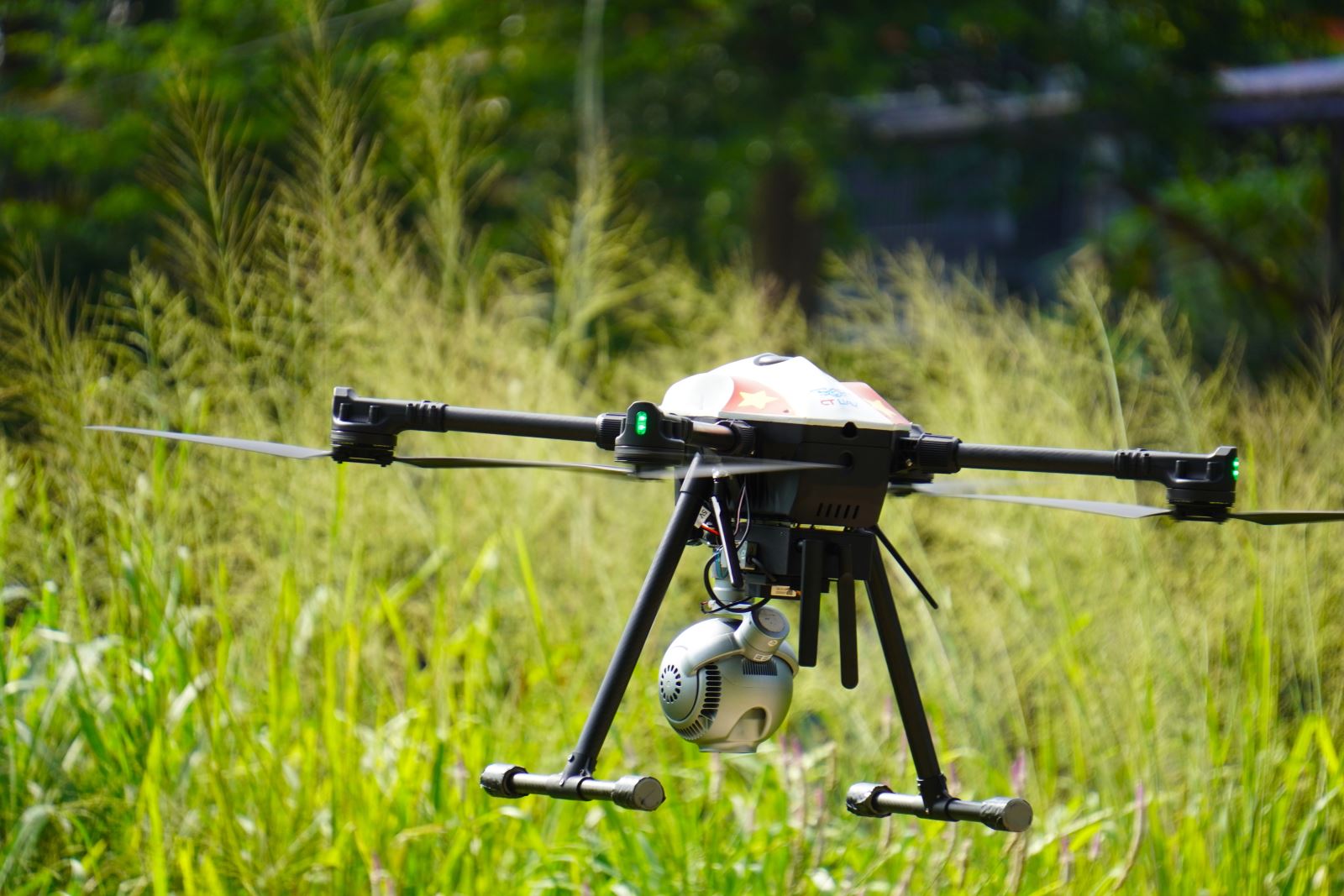
An unmanned aerial vehicle conducts aerial scanning and collects data for the development of a three-dimensional spatial map in Bau Bang Commune, Ho Chi Minh City.
On the morning of August 4, the Culture and Social Affairs Division of Bau Bang Commune, in coordination with Serviceaviationgeneral Co., Ltd. (GASCOLAE), conducted a pilot UAV flight over the 305-plot site in Residential Group 7, Chien Thang Hamlet. The activity aimed to create a three-dimensional spatial map to support local administrative management.
During the pilot flight, the UAV scanned and captured aerial imagery while collecting data for the development of a 3D digital map, an orthophoto map and a digital geospatial database. The resulting data will contribute to the digitisation of existing conditions and support urban and spatial planning, land administration, construction compliance monitoring, waste management, stream and waterway management, green-space management, technical infrastructure supervision and environmental management.
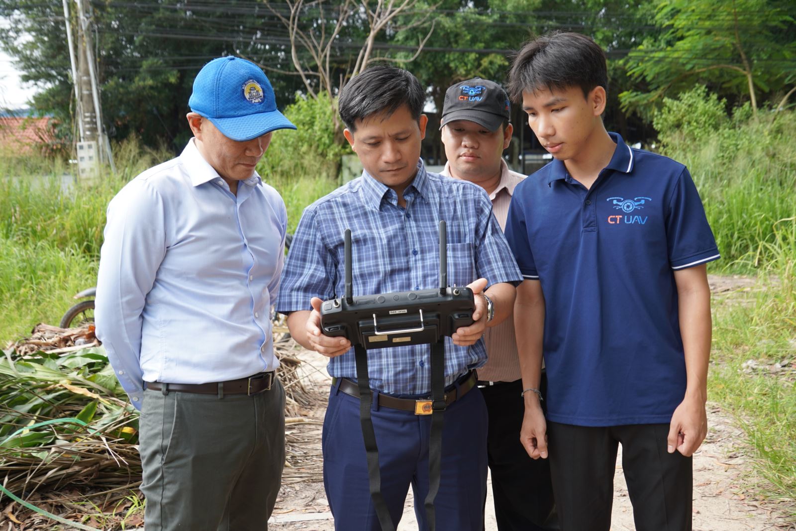
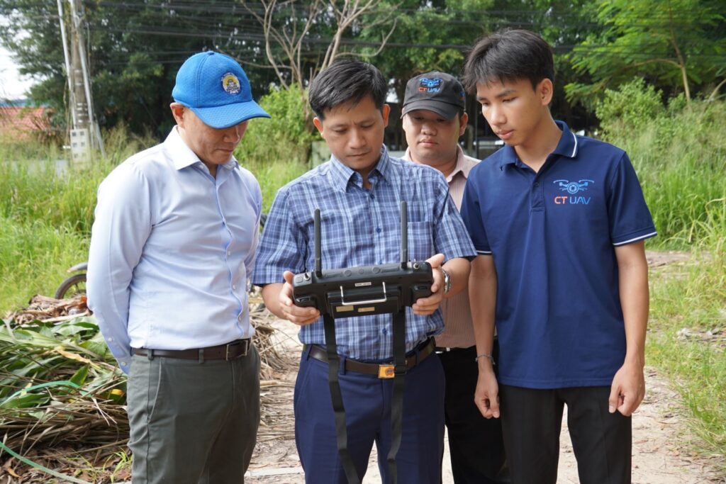
Leaders of Bau Bang Commune review 3D mapping data collected by the UAV during the pilot flight.
According to the organisers, integrating UAV technology with 3D spatial mapping can improve data accuracy, shorten survey times and optimise costs compared with conventional surveying methods. The collected data will also provide a reliable foundation for government agencies to access, analyse and utilise information, supporting data-driven decision-making on digital platforms.
The initiative represents one of the locality’s practical steps towards accelerating the application of science, technology and digital transformation in public administration. At the same time, the development of a digital geospatial database aligns with the strategic direction for the Low-Altitude Economy, which encourages the use of unmanned aerial vehicles in public administration, community services and other civilian applications.
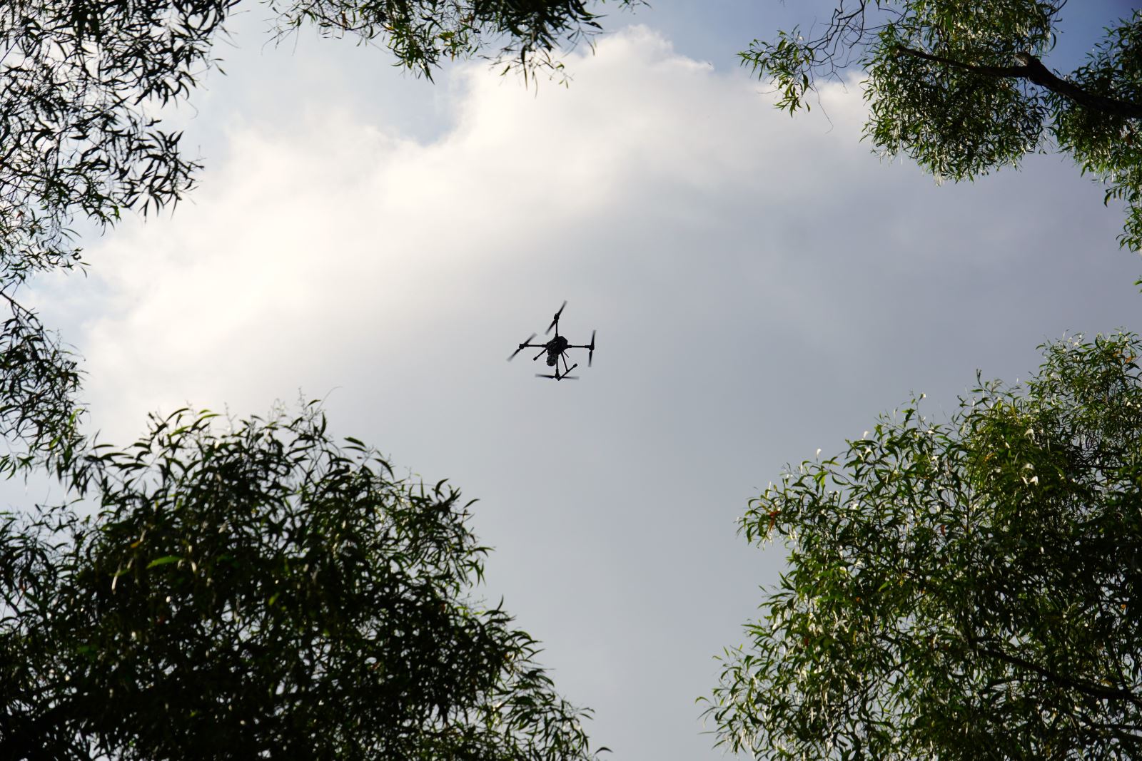
The pilot UAV flight collects data for the development of 3D maps, orthophoto maps and a digital geospatial database to support local government management.
Under Ho Chi Minh City’s Low-Altitude Economy Development Plan through 2030, the city prioritises the expanded application of UAVs in urban management, agriculture, logistics and government operations. The plan also encourages local authorities to pilot implementation models suited to their specific conditions. Within this strategic framework, Bau Bang Commune’s pilot use of UAV technology for 3D mapping will contribute to strengthening the locality’s digital data infrastructure and improving the effectiveness of local administration, management and decision-making.
________________________
Follow CT Group on Facebook for the latest updates and news!